From Strumica to Ohrid: AGFT team Revealing Tomorrow’s Rural Logistics Landscape
Date: 30.05.24
Written By: Darko Jancheski
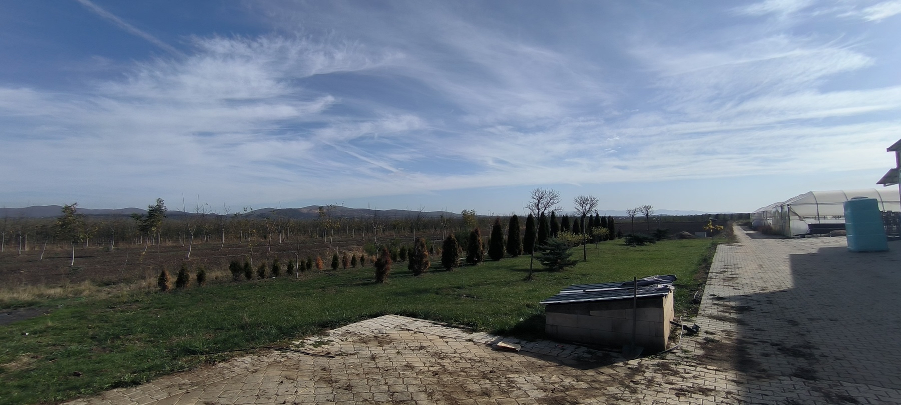
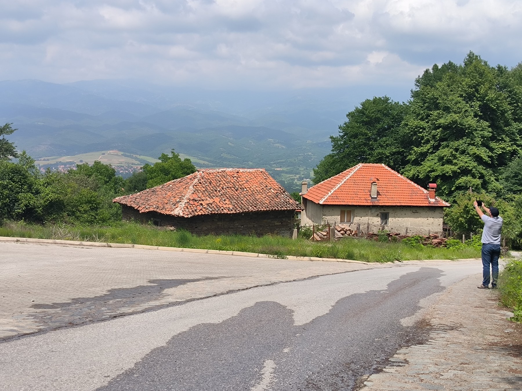
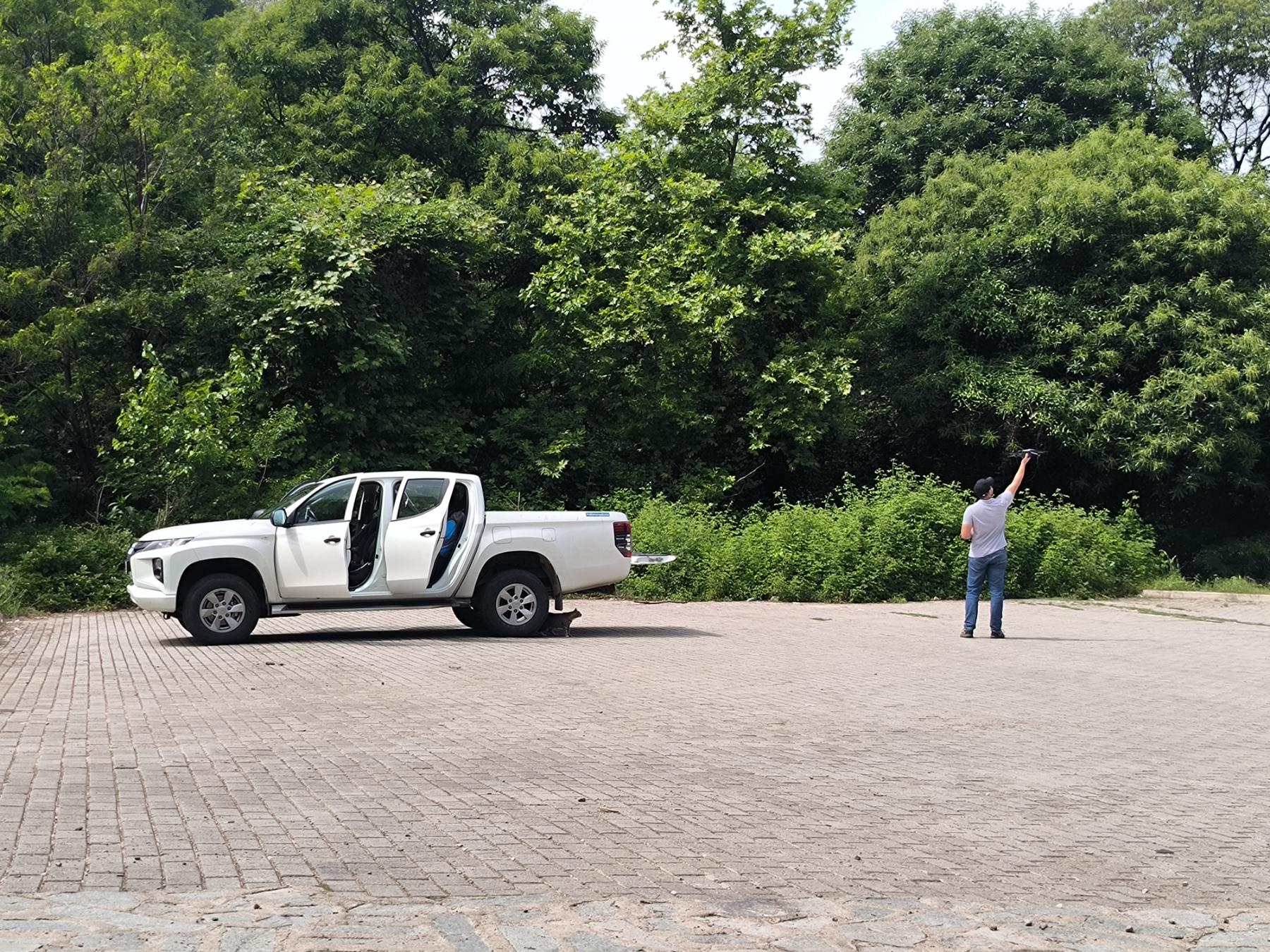
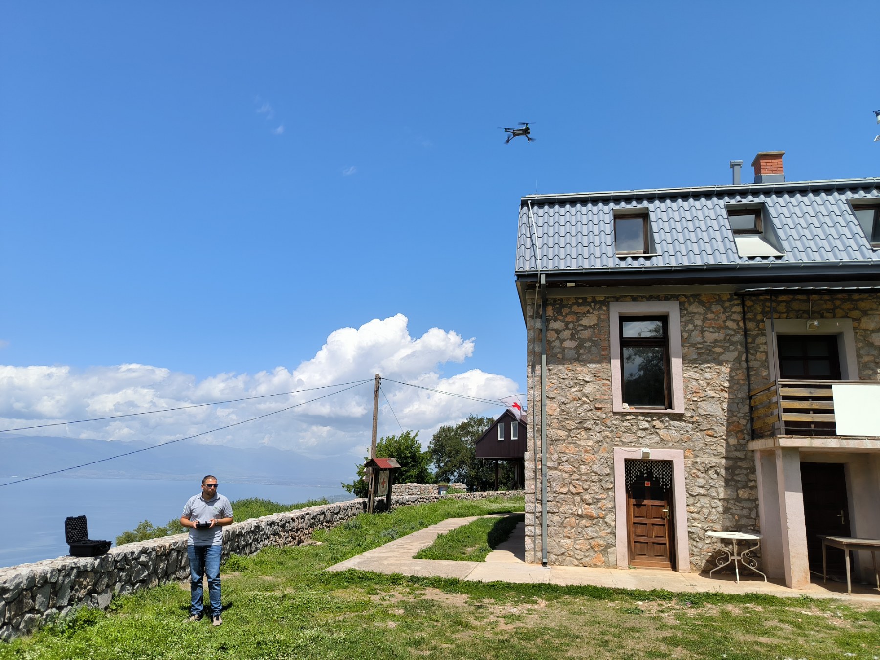
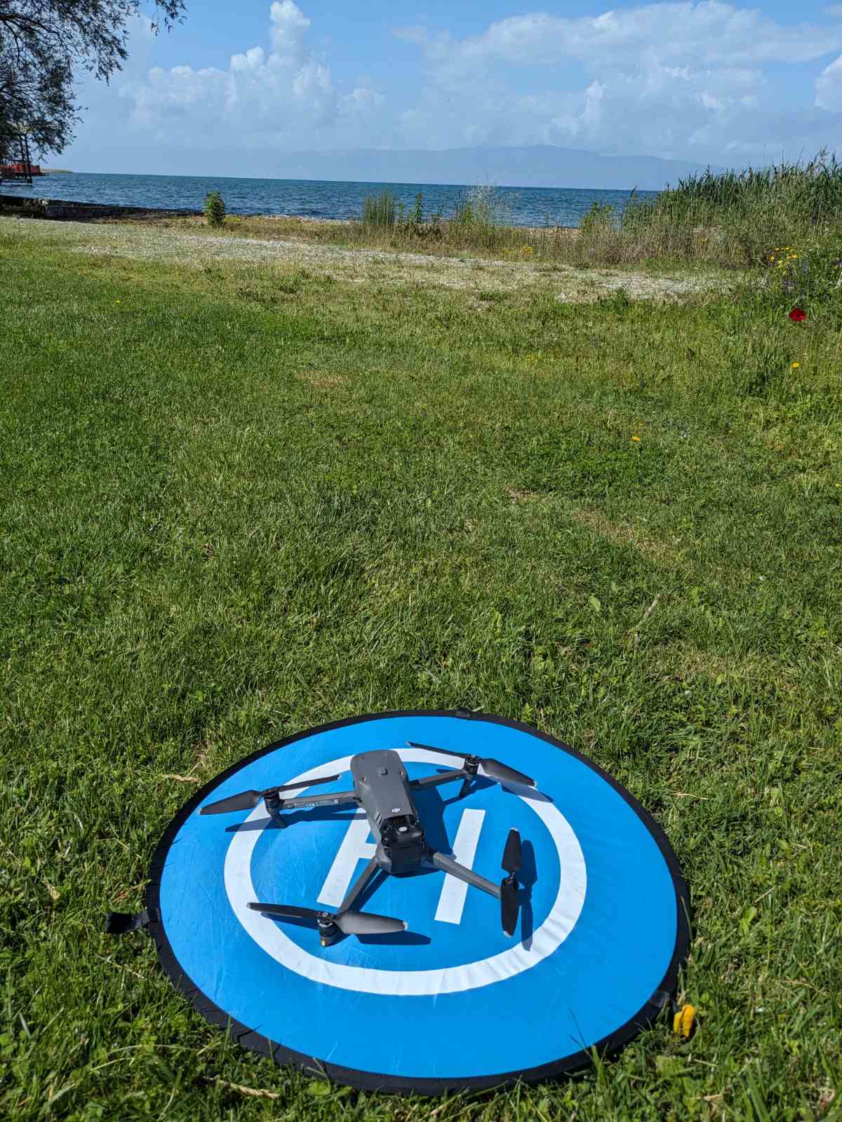
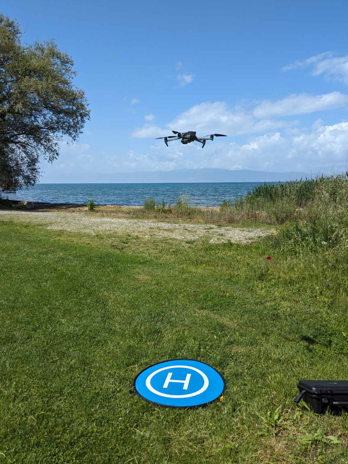
Last week AGFT team was on a field trip to Strumica and Ohrid, mapping specific location sites for the needs of EU-funded project ICAERUS. With drones as our allies, we’re capturing detailed imagery to revolutionize rural logistics. Strumica’s beautiful surrounding and the amazing scenery around Ohrid provide diverse terrain for our mapping efforts.
The AGFT team set off on a three-day trip, departing from Skopje on Monday and reaching Strumica the same day. After completing their tasks, the team headed to Ohrid the next day, excited to witness the breathtaking view of Galicica Mountain and its stunning view of the lake. As they mapped the locations – weak points were identified, and opportunities for utilizing drones in rural logistics were determined.

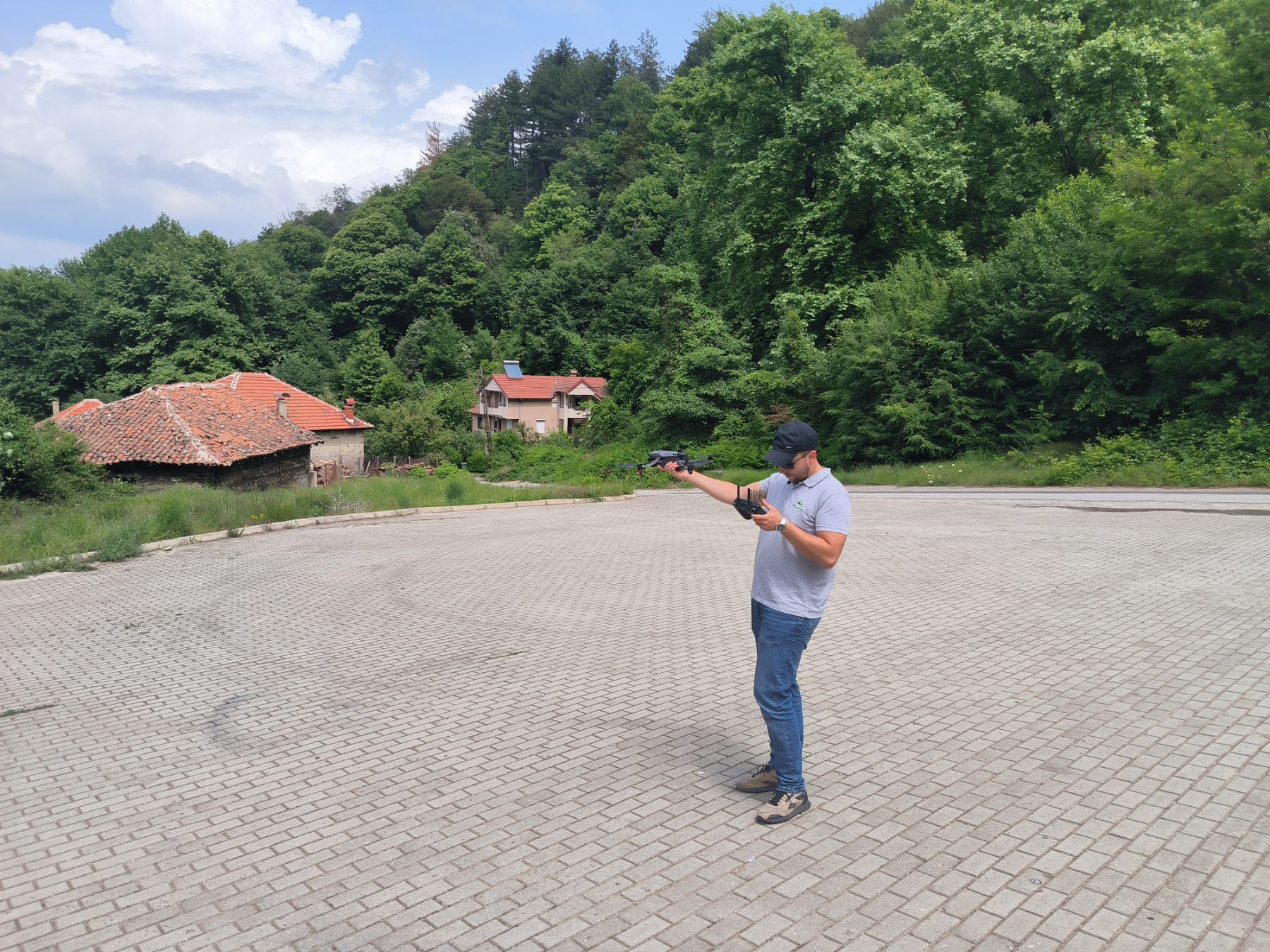
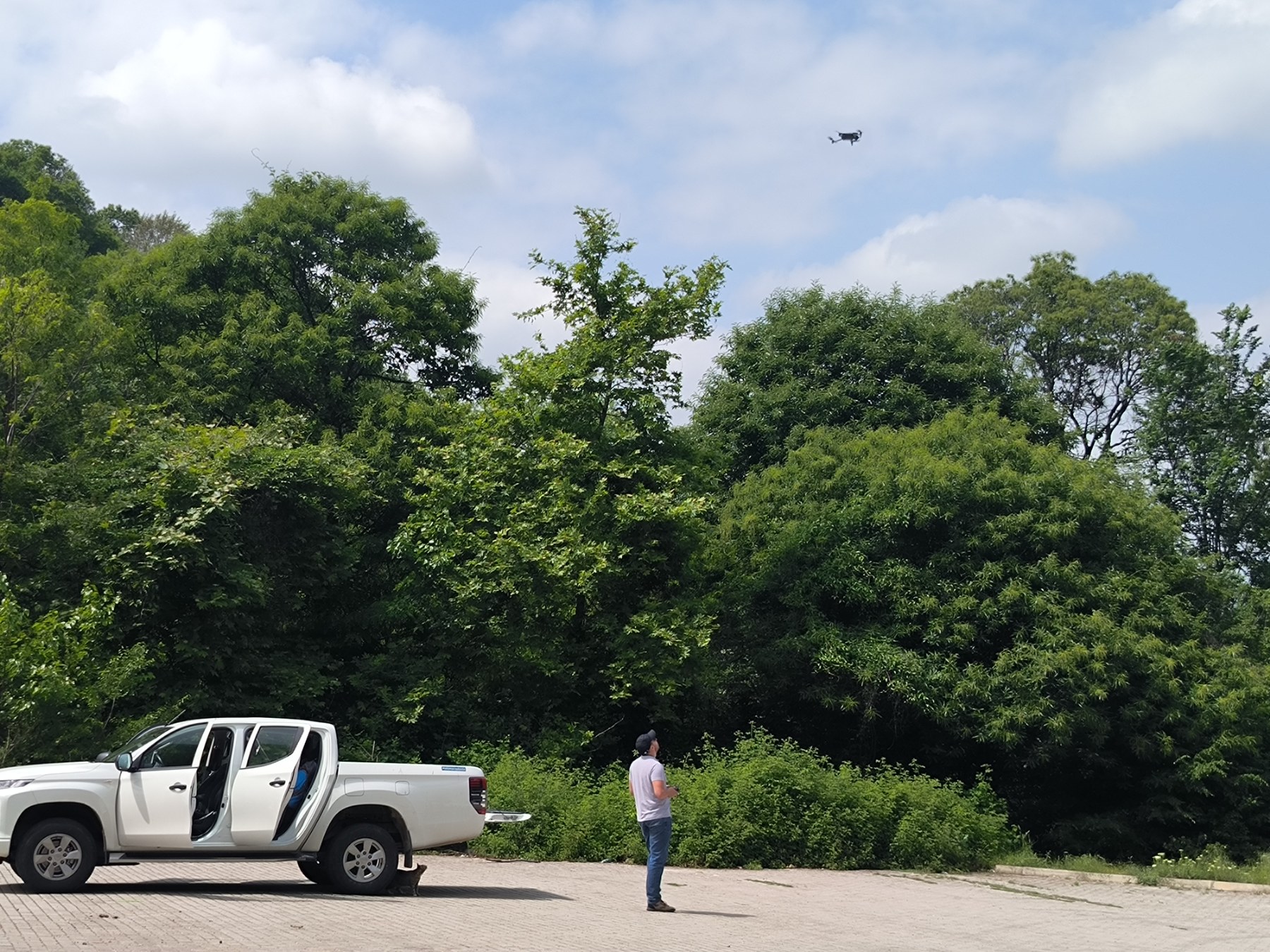
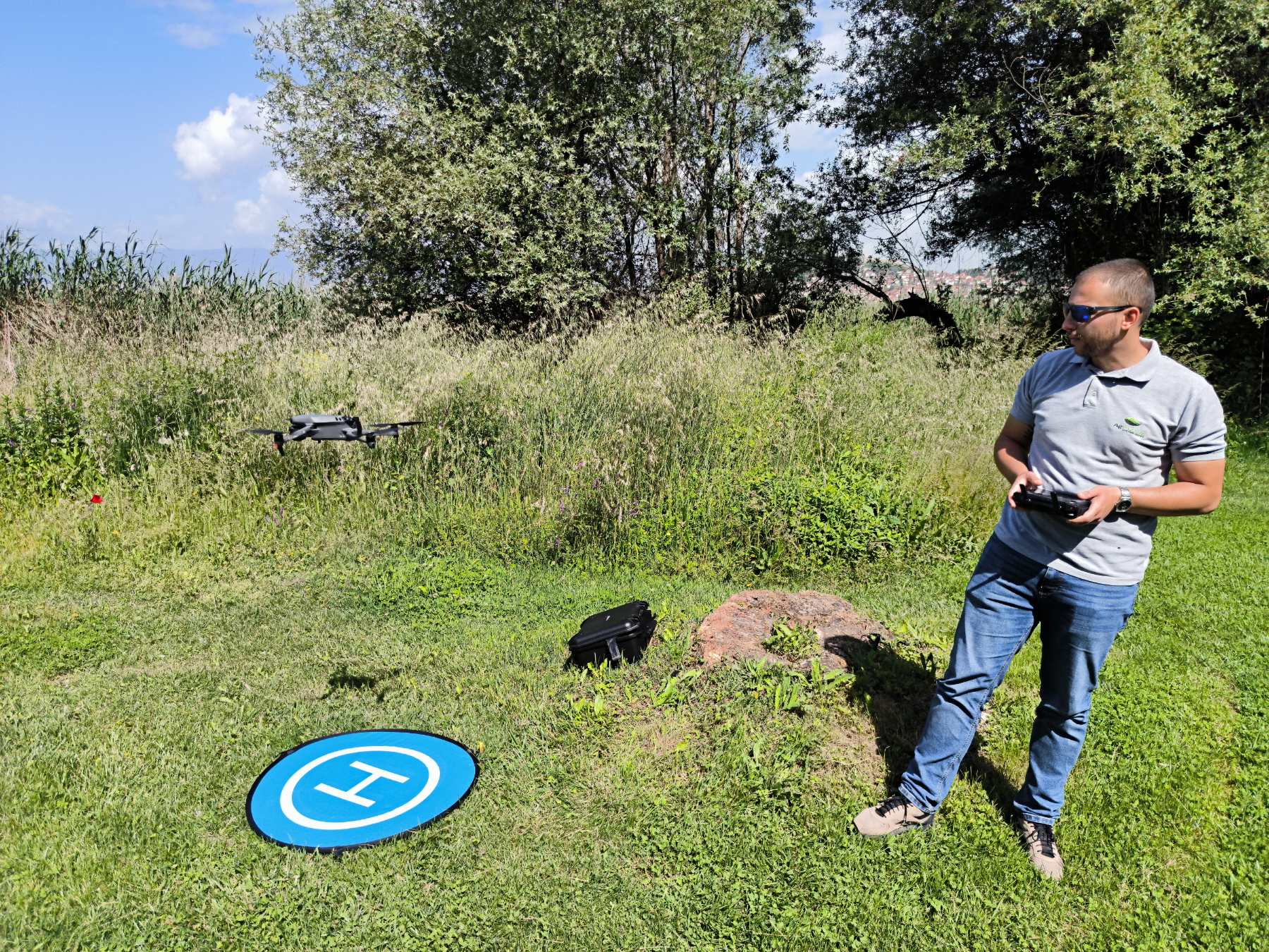
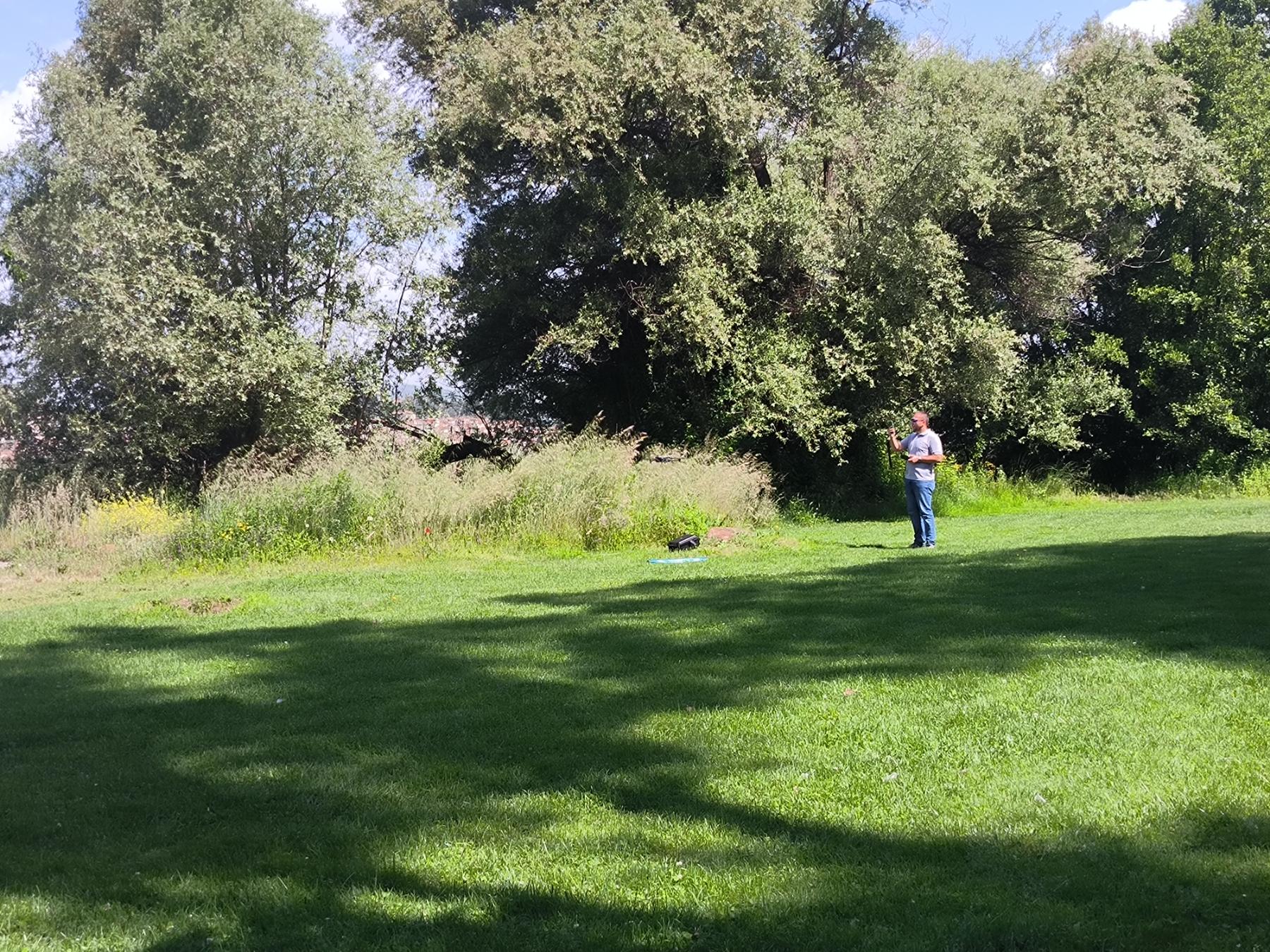

Our goal extends beyond maps – we’re building a future where UAVs aid rural logistics, from delivering packages to aiding disaster relief. Collaboration with local communities ensures our solutions are practical and tailored. Stay tuned for updates as we navigate these landscapes, mapping the future one flight at a time.
The ICAERUS vision is to explore drone based opportunities and provide a more complete and interconnected account of their potential and impacts as multi-purpose vehicles in EU agriculture, forestry and rural areas. The aim of ICAERUS is to apply, showcase and support the effective, efficient and safe deployment of drones as well as, identify the risks and added values associated with their use.
Innovation
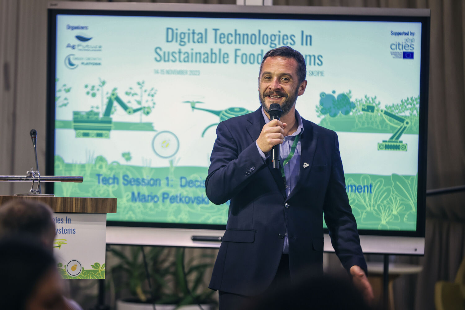
Exploring the Future of Sustainable Agriculture: Highlights from the B-FERST Project's Final Event
Darko Jancheski | July 4, 2024
ICT in Agriculture
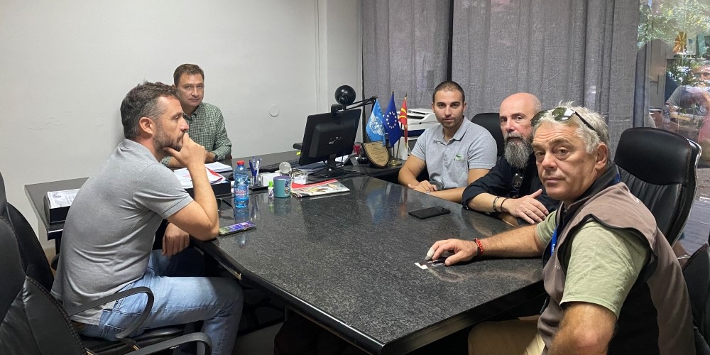
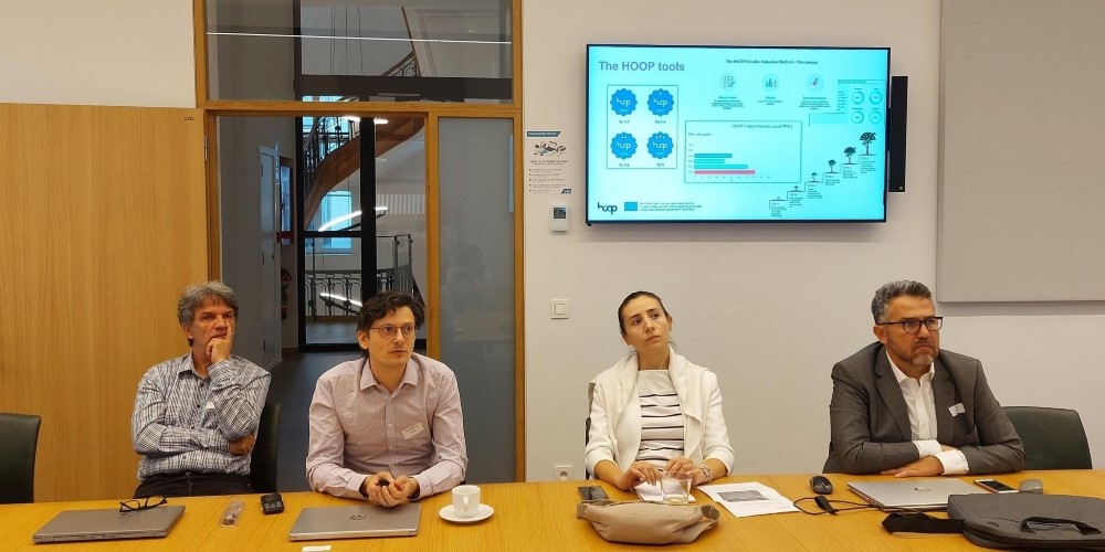
Fostering Regional Innovation: Collaborative Efforts in Advancing Agricultural Technologies
Darko Jancheski | September 19, 2024
Event Category
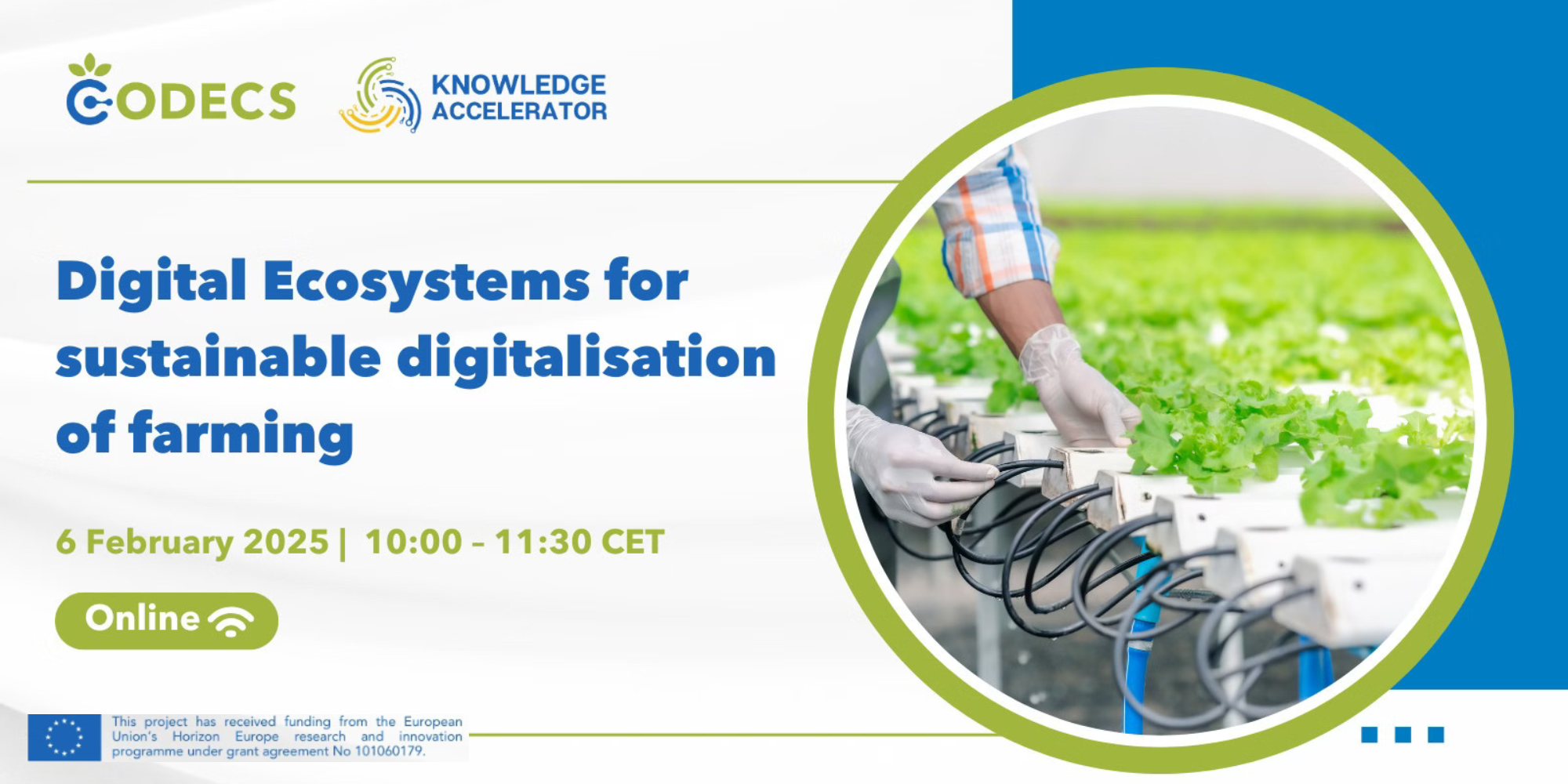
Join the CODECS Knowledge Accelerator Webinar
Darko Jancheski | January 20, 2025
ICT in Agriculture
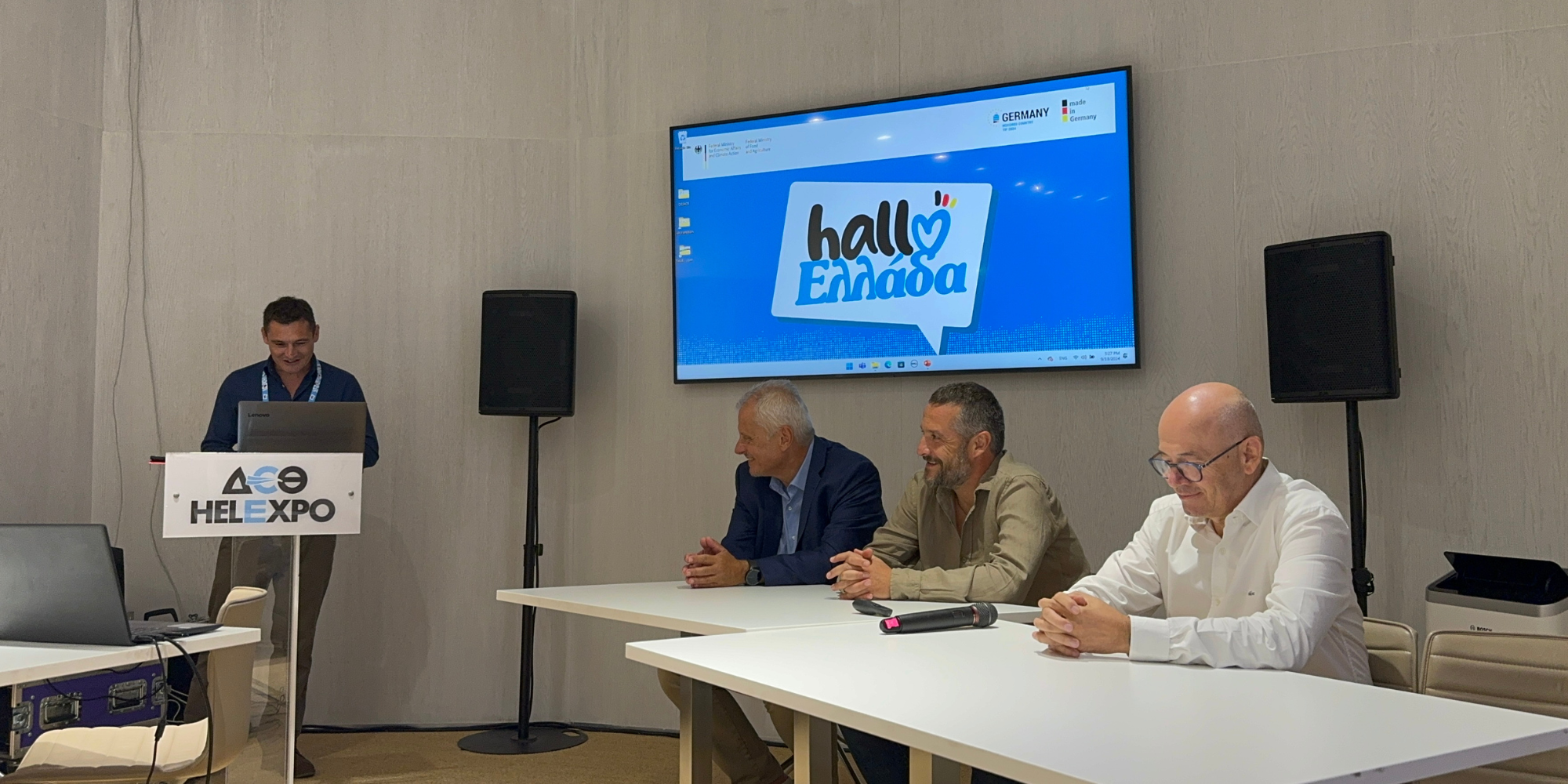
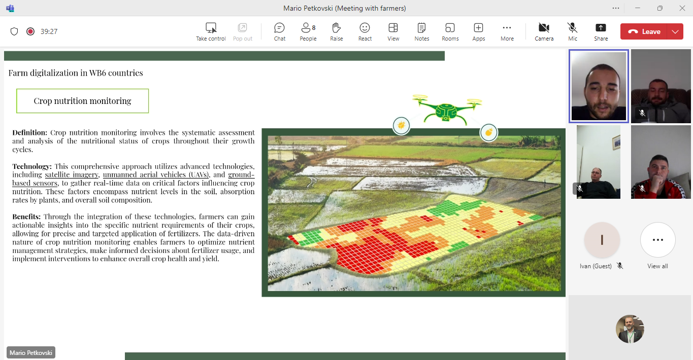
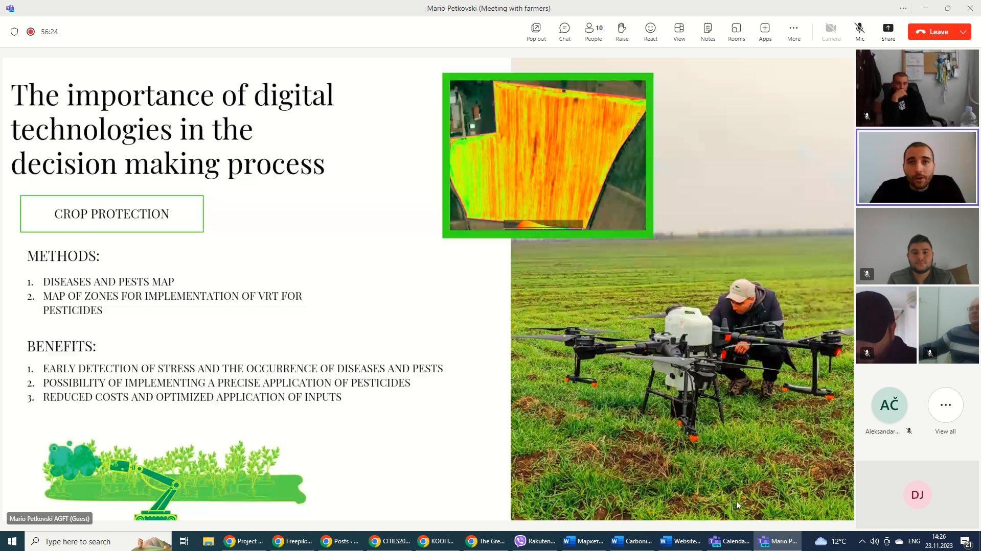
Empowering agriculture in WB6 countries through digital transformation of farms
Darko Jancheski | January 24, 2024
ICT in Agriculture
Milestone Achieved: AGFT successfully navigated Deliverable 1 in the Digitalization of farms in WB6 countries project
Darko Jancheski | January 25, 2024
ICT in Agriculture
Milestone Achieved: Conducted Deliverable 2 in the Digitalization of farms in WB6 countries project
Darko Jancheski | January 26, 2024